(*) Partner Institution ( Film in Spanish)
Instituto de Investigaciones de la Amazonía Peruana - IIAP
(Iquitos|Loreto - Peru)
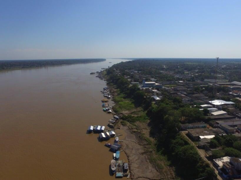
The Present State of the Amazon River
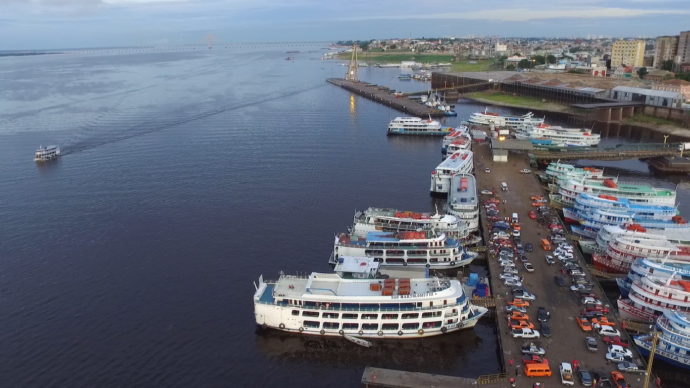
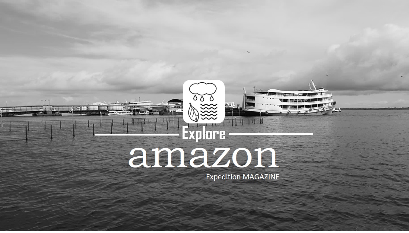
(Photo: Manaus Harbor, 2018. Brazil)
The Amazon with its tropical forest and in possessing the longest river in the world, in addition to having the greatest biodiversity of both plant and animal, to be the biggest contributor in the capture of atmospheric CO2, also to favor the rains throughout South America and to influence the global circulation of the atmosphere balancing the temperature of the planet.
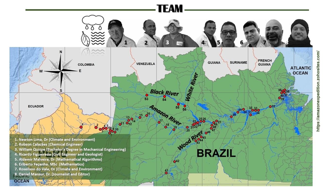
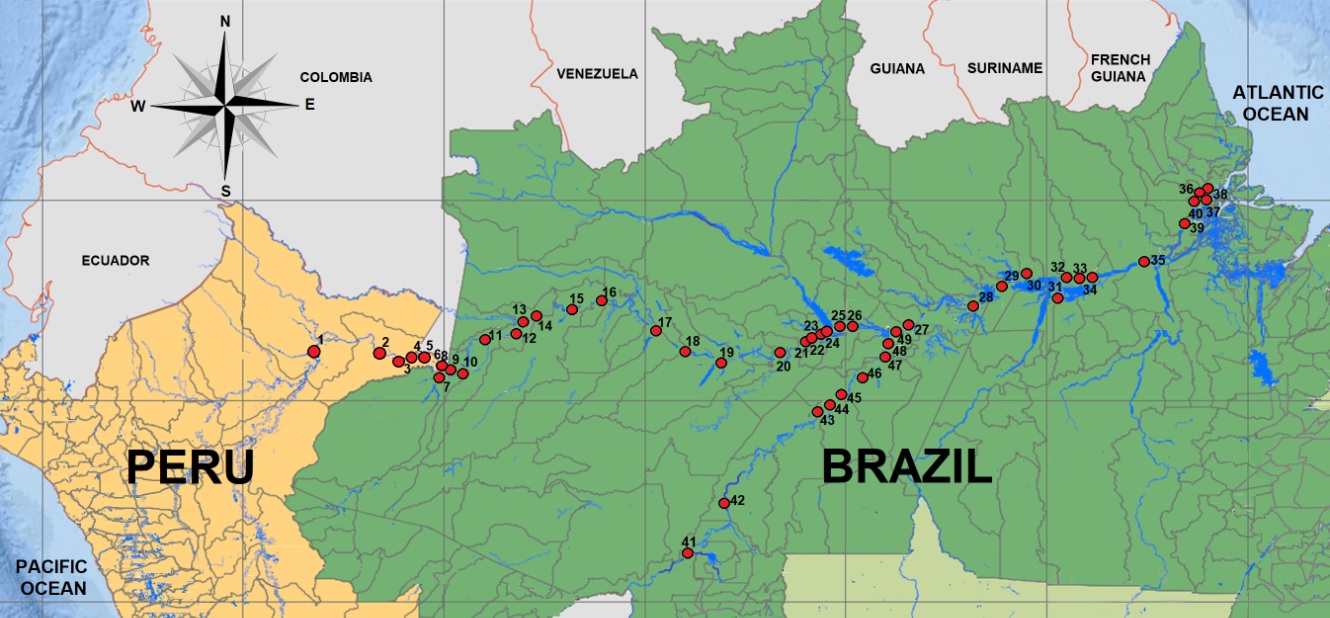
Georeferenced map of the Amazon River
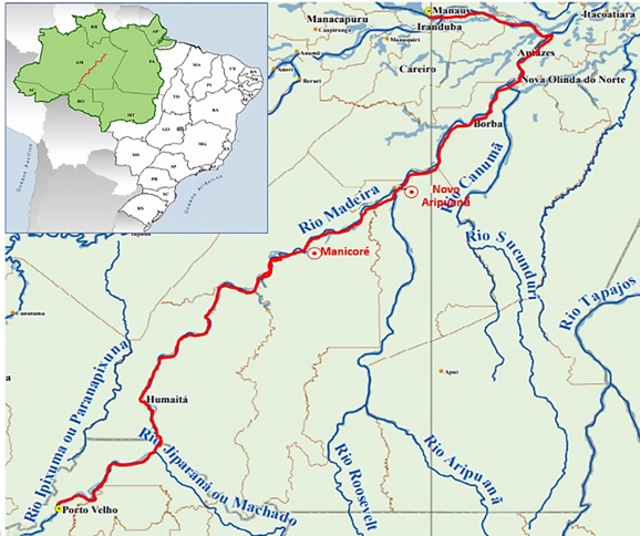
Georeferenced map of the Amazon River (from Peru to the Atlantic Ocean in Brazil), containing 51 locations along the river, with their respective geochemical analyzes of water quality. The document provides geographic information on the locations monitored during the dry season in the Amazon (July 2016). work carried out during the Peru-Brazil River Expedition trip, in addition to the same information for the Madeira (Wood) River between the cities of Manaus in Amazonas to Porto Velho (Old Harbor) in Brazil.
Map (pdf) - (download here)
https://www.researchgate.net/publication/350621721_EXPEDICAO_BRASIL-PERU_in_english
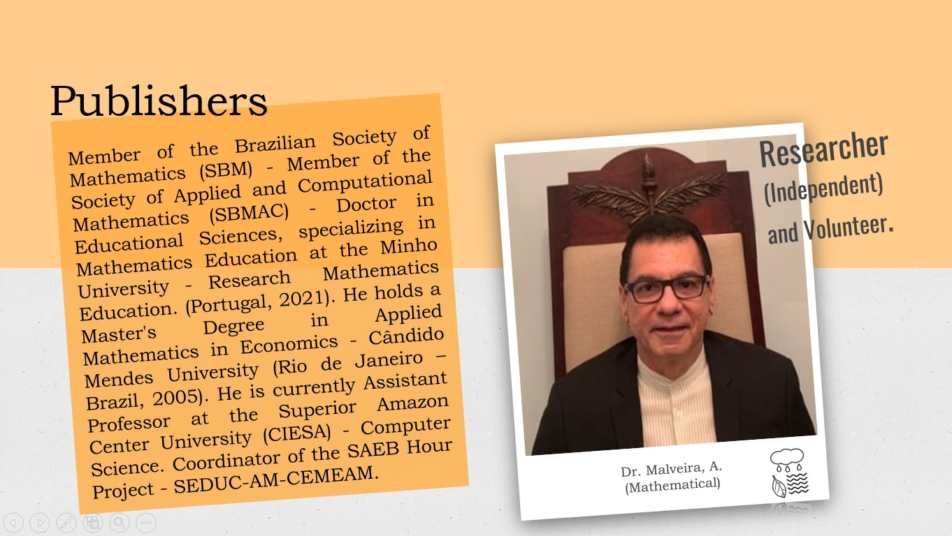
Dr. Aldemir Malveira de Oliveira (Mathematical)
See author profiles for this publication at: (download here)
1. BRAZIL - COLOMBIA CONNECTION: AN OPEN AIR LABORATORY FOR THE TEACHING OF GEOMETRY. Cap 2. p 13 | DOI:10.51497/reflex.0000008

MSc. Alan dos Santos Ferreira (Environmental Consultant)
See author profiles for this publication at: (download here)
2.https://drive.google.com/file/d/1tbQhVzasr-q_90t01q_q8EjU2PYOWwvh/view?usp=sharing

See author profiles for this publication at: (download here)
1. Chemical composition of black water creeks from northern of Amazon - Brazil
Madeira (Wood) River
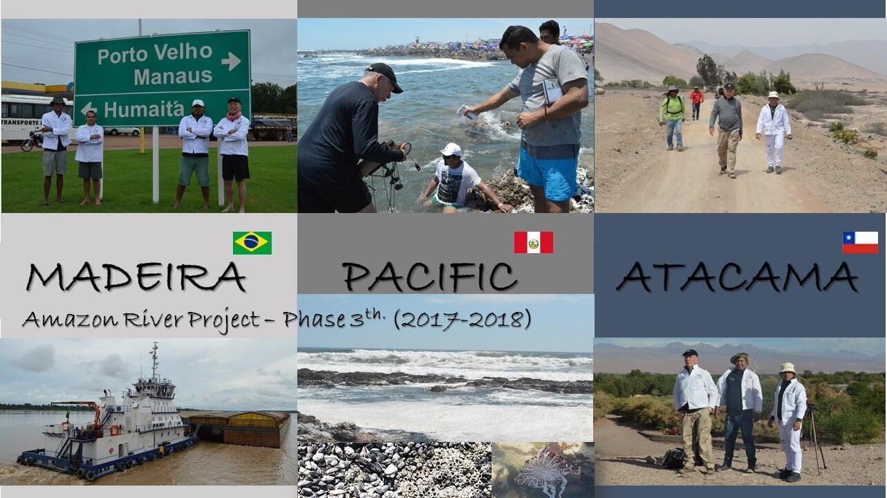
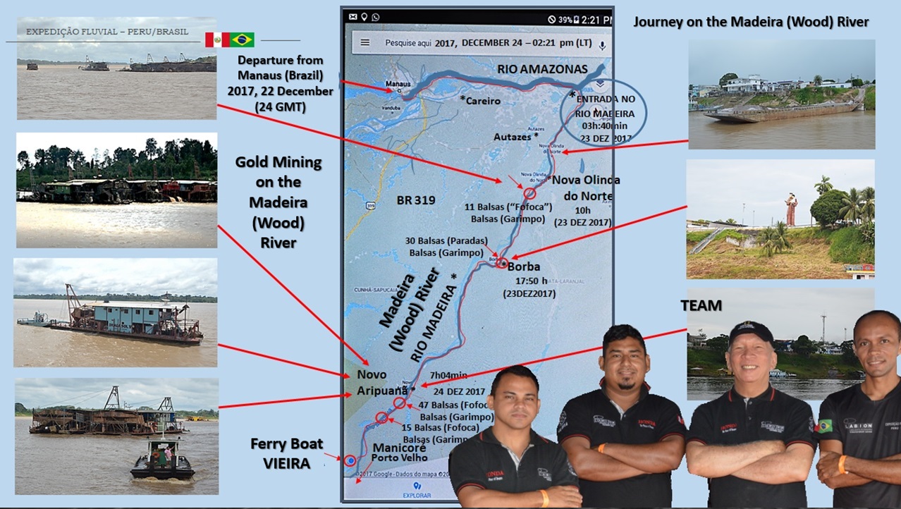
“Egypt is a gift of the Nile”, (HERÓDOTO, séc. V, a.C. apud MORAES, 1999), an observation that is identical in relation to a habitat in the western world in South America, specifically communities in the north of Brazil such as Porto Velho (Old Harbor), Humaitá, Manicoré, Novo Aripuanã, Borba and Nova Olinda do Norte, which can be thought of as gifts from the Madeira (Wood) River. The Madeira River is the most inhabited and commercially exploited of the tributaries of the right (southern) bank of the Solimões-Amazonas River system (RAPP PY-DANIEL, 2007). The river received this name because of the enormous quantity of tree trunks that its waters carry throughout the entire year (STERNBERG, 1975). The true grandeur of this river lies in its richness in fish species (DORIA et al., 2012;) along it margins, vast alluvial plains have developed through deposition of sediments carried in the water (HORBE et al., 2013), which also contain gold. Its geographic location allows for a shipping route for soybeans produced in the Center-West region of Brazil to the Atlantic Ocean (Correa and Ramos, 2010), besides providing ample hydroelectrical energy through the dams at Jirau and Santo Antônio, which do not use conventional reservoirs (ANEEL).

Manicoré City in Madeira (Wood) River
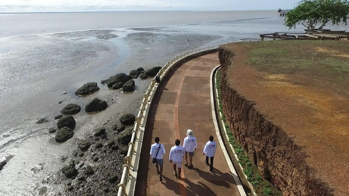
– Aerial view in the direction Porto Velho (Old Harbor) to Manaus of the city of Manicoré on the Madeira (Wood) River in July 2018.
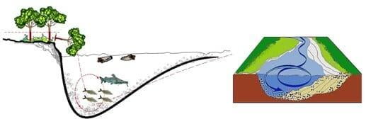
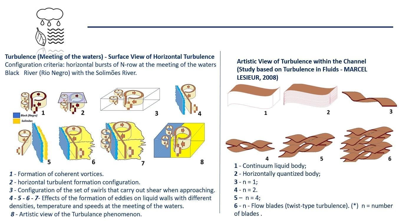
Artistic representation of the profiles of the geoindicators for terrestrial and aquatic ecosystems along the Madeira (Wood) River, with emphasis on the effects of erosion caused by vortices as observed in the 2018 field campaign, (not to scale).
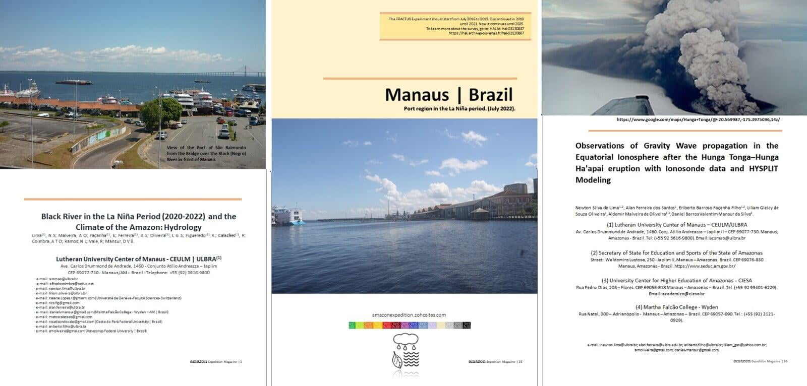
Black River in the La Niña Period (2020/2021) and the Climate of the Amazon
The Black River (Rio Negro) is a river that rises in the Guyanese shield in North South America in Colombian territory (Guainia River) and comes towards the great Amazon River (Brazil), where it has its mouth, where its black waters meet the waters of the Solimões river in front of the city of Manaus (Latitude: - 3.10719 Longitude: - 60.0261). Its volume is strongly influenced by the seasonal climatological phenomena of El Niño, when it reaches 13.63 m and in the La Niña period, it reaches up to 30.00 m, as the normal elevation oscillates between 17.54 m and 21.77 m, in relation to sea level, which is distant from its mouth, another 1,054 km to the Atlantic Ocean. It is the largest tributary on the left bank of the Amazon River, being the seventh largest river in the world by volume of water, responsible for 7% of the water it discharges into the Atlantic, the Black drains an area corresponding to 10% of the 7 million kilometers squares of the Amazon Basin. In, Zeidemann, 2001, more water flows through its bed than flows in all the rivers in Europe combined. (Download Here).
https://drive.google.com/file/d/1_nS_mPHT_hdlzmELhTlLH5iiSTuj33DB/view?usp=sharing

Manaus City Center, Northern Brazil in 2021, June on the effects of La Niña (Photo: Niels Lima, 2021, Jun)
(*) If you would like to receive monthly information about Boletines ASP, El Niño and La Niña, please subscribe to the email. (antoniosalva2002@yahoo.es)
Rain on the Black River
(Manaus Harbour| Brazil, 2021,Sept.)
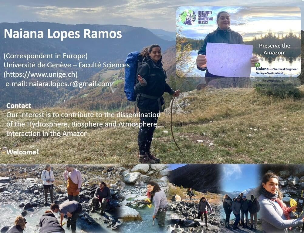

Group of Master's students from Geneva University (Faculty of Science) . September 2021

See discussions, stats, and author profiles for this publication at:
(*)Educational Dimensions (Continuous Process of Intellectual Transformation)
Get the Amazon River e-book
(in, https://www.researchgate.net/publication/350640230_RIO_AMAZONAS_EXPEDICAO_FLUVIAL_-_PERU_BRASIL_2016)
Fractus (Morocco - Amazon)
The greatest contribution to the rains in the Amazon is in the humid tropical forest, whose trees are the links of the subsoil-atmosphere connection in the transport of water and volatile organic compost that transform into rain aerosols that also mix with other aerosols that arrive in the Amazon. (LIMA, 2019).
See discussions, author profiles for this publication at: (download here)
1. https://drive.google.com/file/d/1HsVGnzsQYyni3hI5QV60-Z6kpR9tO_V_/view?usp=sharing
2.https://drive.google.com/file/d/1V1yTzV8MstZr-YrCCaAGhmTXtAwMzDzP/view?usp=sharing

